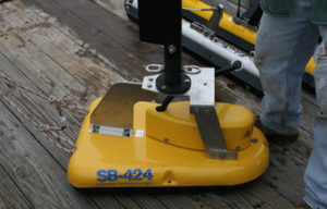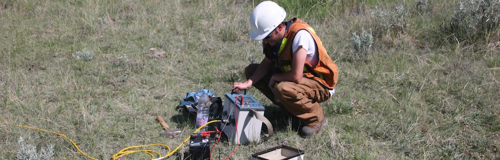
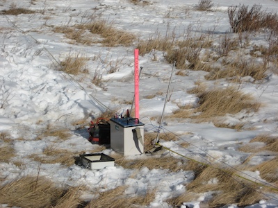
 Induced Polarization (IP) is a geophysical method used extensively in mineral exploration and mine operations. The IP survey is very similar to electrical resistivity tomography (ERT). Resistivity and IP methods are often applied on the ground surface using multiple four-electrode sites. In an IP survey, in addition to resistivity measurement, capacitive properties of the subsurface materials are determined as well. As a result, IP surveys provide additional information about the spatial variation in lithology and grain-surface chemistry.
IP survey can be made in time-domain and frequency-domain mode. In time domain Induced polarization method, voltage decay is observed as a function of time after the injected current is switched off. In frequency-domain Induced polarization mode, an alternating current is injected into the ground with variable frequencies. Voltage phase-shifts are measured to evaluate impedance spectrum at different injection frequencies, which is commonly referred to as spectral IP.
IP method is one of the most widely used techniques in mineral exploration and mining industry and it has other applications in hydrogeophysical surveys, environmental investigations and geotechnical engineering projects.