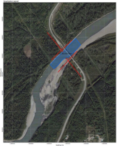
You don’t need to be a geophysicist to understand what type of geophysical survey methodology will be required to successfully image the subsurface target(s) of interest to your project. Simply provide us with the scope of your project area, a description of your target(s) soil/rock/material physical properties of interest (e.g. upper bedrock surface, soil stratigraphy, soil stiffness, electrical resistivity, soil type, etc.) and our professionals will design a survey approach that will be optimally suited to your project needs.
Survey designs will consider which geophysics technologies and survey methodologies are best suited to detect and/or image the physical material properties of your target(s). Other variables for the design of a successful survey will include consideration of field personnel safety, survey terrain conditions, the scope of the survey area, project time lines, and project budget.
