About Surface Search.
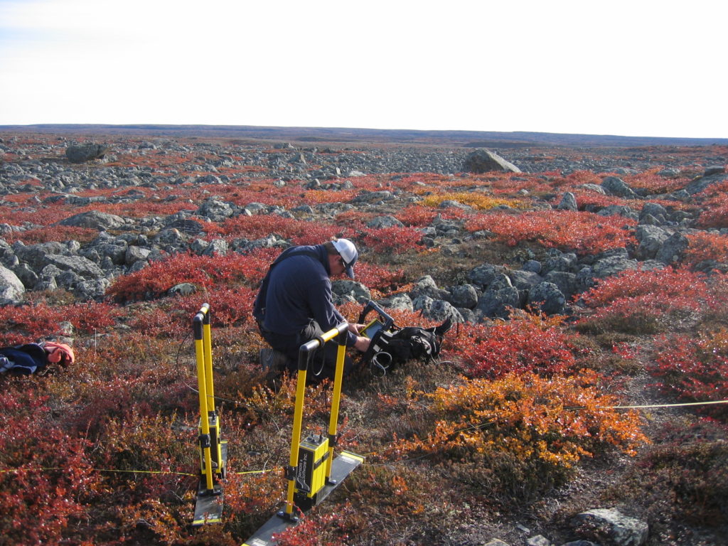
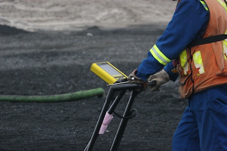
Surface Search Inc. offers multiple shallow geophysics survey solutions using state of the art technology to capture the full nature of differing types of geologic and engineering material properties below the ground surface. Our capabilities include imaging subsurface features in 2 or 3 dimensions to enhance your knowledge and understanding of the different types of ground conditions that exist within your project scope area. Coupled with borehole drilling, geophysical surveys enhance engineering planning and design decisions through increased awareness of the varying types of ground conditions that exist within your project area.

Our work process
By expanding your subsurface vision, our aim is to ensure that nothing is overlooked and that changes in ground conditions are identified in advance. This approach helps to significantly reduce the risk of incurring project cost overruns and delays that result from encountering unforeseen and unexpected ground conditions within the confines of your project area. Further, shallow geophysics investigations may identify subsurface features that can financially impact a particular project in the longer term (e.g. landslide failure planes, caverns).
Our approach in the design and execution of value-added geophysical survey solutions for our clients incorporates three fundamental principals we continuously strive to maintain: 1) selecting geophysical methodologies that have been scientifically proven to detect and/or image the physical properties of the subsurface features of particular interest to the client; 2) selecting the most advanced and robust geophysical technology and equipment to use to collect subsurface information on behalf of our clients and 3) constant improvement of field operation, data processing and data analysis procedures to ensure delivery of high quality results in a timely manner.
Mission and Values.
Surface Search Inc. provides a broad range of shallow geophysical survey solutions for project engineers, geoscientists and planners who require detailed information on subsurface conditions beneath their project areas.
Looking for a Solution.
A comprehensive understanding of what lies beneath the surface within the confines of your project area matters. Encountering unforeseen subsurface features can be detrimental to your overall project budget and completion schedule. Shallow geophysics helps to increase your preparedness by providing the capacity to investigate, detect and map mission critical subsurface features throughout a project area, well beyond what can be inferred from borehole drilling programs alone.