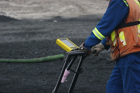
Surface Search Inc. provides a broad range of shallow geophysics survey solutions for project engineers, geoscientists and planners who require detailed information on subsurface conditions beneath their project areas.
Since 1991, we have developed a reputation for delivering trusted solutions and being accessible to our clients globally. We provide reliable and responsive services managed by our experienced geophysicists and field operation specialists.
Year Founded
10
services
0+
clients
0
Our Experience.
With over 30 years of experience in providing high-resolution geophysics services to a wide range of industry groups on domestic and international projects, Surface Search Inc. continues to offer clientele innovative solutions for their subsurface mapping needs.
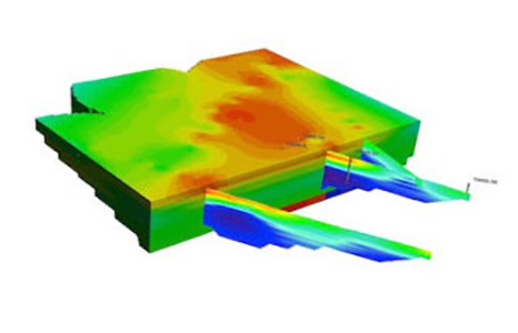
Shallow geophysics enables users to visualize underground features in-between and beyond borehole locations. Where detailed information is required, surveys can be completed over gridded layouts to produce 3-Dimensional views of subterranean features.